
Monte Gargano trail
From Mont-Cenis to Mont-Saint-Michel (1,253 km)
Coming from Monte Gargano via Rome and the Sacra di San Michele in the Susa Valley, the miquelot reaches Mont Cenis, the crossing point between France and Italy since Carolingian times (1,393 km from Monte Sant'Angelo). Only 1,253 km remain to reach the Mont.
Walkers can follow the route suggested by the association "Les Chemins de saint Michel en Savoie". from Murs-Géligneux to Mont-Cenis (227.6 km)
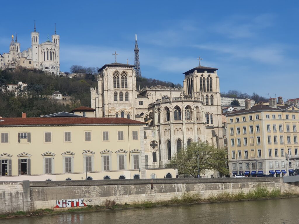
Once in Chambéry, you'll head for Lyon, capital of the Gauls and a key stopping-off point, along a route defined in 2020 with the Friends of Saint-Jacques in Rhône-Alpes for the 4 stages from Saint-Genyx to Lyon.
From Lyon to Orléans (474 km), the route has been established, recognised and described by two miquelots on behalf of the "Chemins du Mont" and will be completed in autumn 2020. It takes in the Loire Valley as far as Orléans and the Grand Chemin de Chartres au Mont
THE STAGES
![]() From Monte Sant'Angelo you can follow the Via Francigena or the the Cammino di San Michelewho wants to follow the famous linea micaelica
From Monte Sant'Angelo you can follow the Via Francigena or the the Cammino di San Michelewho wants to follow the famous linea micaelica
Mont-Cenis/Saint-Genix (227.9 km)
Saint-Genix/Morestel (22.35 km)
Morestel/Crémieu (22.4 km)
Crémieu/Jonage (30.6 km)
Jonage/Lyon Bellecour (25.7 km)
Lyon Bellecour/Charbonnières-les-Bains (9.8 km)
Charbonnières-les-Bains/L'Arbresle (15.5 km)
L'Arbresle/Tarare (via La Varenne Les Arnas Pont-Charra-sur-Turdine) (20.5 km)
Tarare/Amplepuis (via Les Sauvages) (19.2 km)
Amplepuis/Cours la Ville (via Thizy Pont-Trambouze) (21.8 km)
Cours la Ville/Charlieu (via La Cergne, Arcinges) (20.8 km)
Charlieu/Marcilly (21.1 km) (green route)
Marcilly/Paray-le-Monial (27.7 km) (green route)
Paray-le-Monial/Pierrefitte-sur-Loire (27.7 km) (green route)
Pierrefitte-sur-Loire/Bourbon-Lancy (15.3 km) (green route)
Bourbon-Lancy/Cronat (16.8 km)
Cronat/Charrin (14.4 km)
Charrin/Decize (16.9 km)
Decize/Chevenon (27.6 km)
Chevenon/Nevers (11.9 km)
Nevers/La Charité-sur-Loir (29.4 km)
Saint-Satur/La Charité-sur-Loire (27.4 km)
Belleville-sur-Loire/Saint-Satur (24.7 km)
Belleville-sur-Loire/Briare (19.3 km)
Briare/Gien (12.1 km)
Gien/Sully-sur-Loire (25.2 km)
Sully-sur-Loire/Saint-Benoit-sur-Loire (9 km)
Saint-Benoit-sur-Loire/Jargeau (19 km)
Jargeau/Orléans (22.4 km)
I download the Lyon Step by Step in Orléans (24 stages)
From Orléans to Chartres, the route follows the route defined by the Compostelle 28 and Compostelle 45 associations in 4 stages (81 km), signposted towards Mont with the Association logo
Orléans/Sougy (20.5 km)
Sougy/Orgères-en-Beauce (17 km)
Orgères-en-Beauce/Voves (13 km)
Chartres/Voves (28.5 km)
A videoproduced by Compostelle 28, allows you to discover this two-thousand-year-old itinerary. which opened the door of the Mount to Italian pilgrims
We follow "The Great Road from Chartres to Mont-Saint-Michel from Orléans (455 km)
GPX FILES, STEP BY STEP, TO DOWNLOAD FOR GPS
These routes are given for guidance only and are not as accurate as the topographical texts accompanied by the 1:50,000 maps in the guide published by the Association.
CYCLE ROUTE FROM LYON TO MONT-SAINT-MICHEL
From Mont Cenis to Lyon, Mont Cenis cycle path then VéloRoute du Rhône (EuroVelo 17) to Lyon,
Beyond Lyon, five stages have been defined and described as close as possible to the pedestrian route, from Lyon to Charlieu, before joining Eurovelo 6 from Paray-le-Monail to Nevers, then the "Loire à vélo" to Orléans, before two stages through the Beauce, from Orléans to Chartres (described in the paper guide to the Orléans Chartres route) and available below, to join the Véloscénie and reach Mont-Saint-Michel.
Cycling variant from Lyon to Mont via Charlieu, Nevers and Orléans
FROM MONTE GARGANO TO MONT CENIS
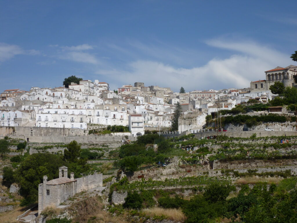 Monte Sant'Angelo
Departing from Monte Gargano, the "miquelot" will be able to climb up the Via Francigenaa major route, then and now, across the entire peninsula, between France and the Holy Land via Rome, or take the Cammino di San Michele recently restored, which passes through the monastery of Bobbio (route and practical information at www.camminodisanmichele.org).
The diversity of Michaels' pathways in Italy is presented, including the Via Micaelica on www.pellegrinando.it/altri-cammini/via-micaelica/
The Vie Francigene are also very numerous in Italy, well beyond the famous route from Canterbury to Rome, now extended to Puglia towards the Holy Land. See www.viefrancigene.org
By bike, follow EuroVelo 5 (Via Romea or Via Francigena)