
Chemin d'Amiens
D4D4NEW
The guide to the route from Amiens to Rouen was published in June 2021 and is available from the association (€9 + postage). In a single volume of 48 pages, it offers a historical and heritage presentation of each stage, maps and step-by-step instructions for each of the 7 stages (171 km).
This Amiens-Rouen route was inaugurated on 26 May 2018 with the laying of a Chemins du Mont nail and a Compostelle nail in front of Amiens Cathedral.
This new itinerary is part of an overall scheme of shared routes linking Hauts de France to Normandy. It has been created to mark the 20th anniversary of the inclusion of the French Pilgrim's Way to Santiago in the UNESCO list of World Heritage Sites, and links Amiens Cathedral with Le Mont Abbey, both of which are listed as World Heritage Sites on the Pilgrim's Way to Santiago as part of Serial Good 868.
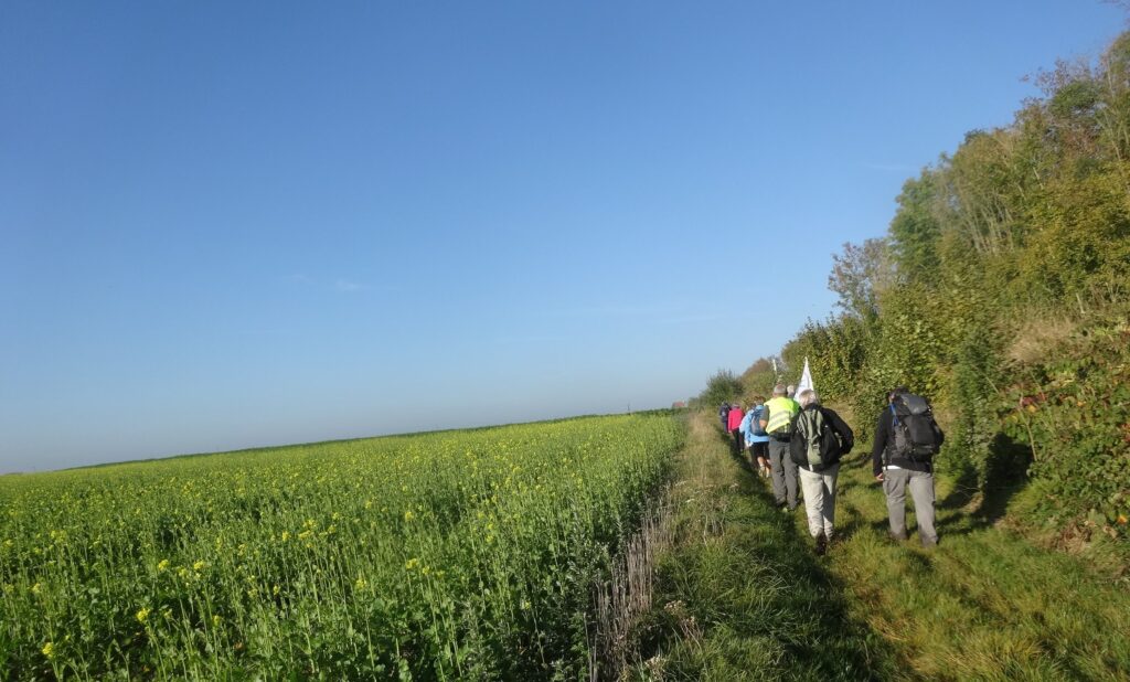
This route allows walkers and mountain bikers from Belgium and the Hauts de France to link up with the Mont on the Route of Galicia.
From Rouen, the route takes you to :
*- Mont-Saint-Michel, following the signposted route from Rouen to Mont-Saint-Michel (Grand chemin normand) in Rouen
*- The "Compostelle" Way via Évreux, Dreux and Chartres,
Towns and villages crossed : Amiens, Pont-de-Metz, Salouel, Saleux, Vers-sur-Selle, Bacouel-sur-Selle. Pont-de-Conty, Monsures, Croissy-sur-Celle, Fontaine-Bonneleau, Catheux, Hétomesnil, Le Hammel, Grez, Halloy, Briot, Brombos, Feuquières, Montceaux l'Abbaye, Blargies, Criquiers, Serqueux (station), Forges-les-Eaux, La Ferté-Saint-Samson, Argueil, Sigy-en-Bray, Bois-Héroult, Boisguilbert, Rebets, Ry, Martainville Epreville, Bois-d'Ennebourg, Franqueville-Saint-Pierre, Le Mesnil-Esnard, Bonsecours, Rouen.
Towns not mentioned but close to the route (1 to 2.5 km) that may be of interest to walkers and mountain bikers (shops and accommodation): Crèvecoeur le Grand, Grandvilliers (Gare), Gaillefontaine.
Variant : Ry via Blainville Crevon (collegiate church of Saint-Michel with famous statue of the Archangel)
This route is also available from Amiens to Rouen as a VTC variant, which avoids the grass paths at certain seasons and some difficult sections. It is not signposted or described, but you can download a map of each stage section.
Download the detailed route the VTC route from Amiens to Rouen
The waymarked footpath is described in the guide published by the Association: The road from Amiens to Rouen, 48 p. , 9 € (+ postage)
To buy this guide, visit the shop
FILE Accommodation & Practical information
] the Amiens to Rouen route in "green Picardy" (Oise)
GPX FILES, STEP BY STEP, TO DOWNLOAD FOR GPS
These routes are given for guidance only and are not as accurate as the topographical texts accompanied by the 1:50,000 maps in the guide published by the Association.